Main loop
The core of the project: the segments that close the territorial reading between village, coast, and return.
Route catalog
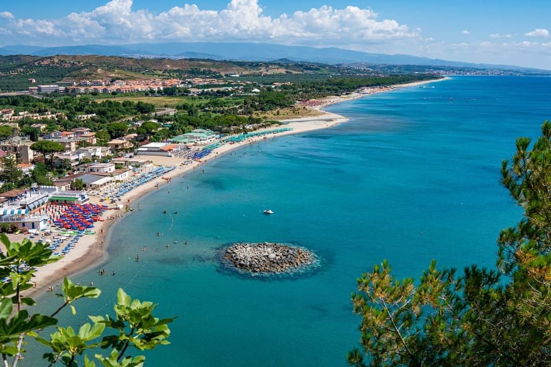
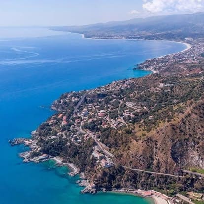
One circular route around Stalettì connecting the historic village, countryside, Copanello, Caminia, and Pietragrande in a slow experience across nature, history, and community.
Il Cammino del Vento is a single territorial loop: it helps visitors navigate coast and hillside while valuing local places, memory, and relationships.
Il Cammino del Vento is a single territorial loop: it helps visitors navigate coast and hillside while valuing local places, memory, and relationships.
Il Cammino del Vento is a single territorial loop: it helps visitors navigate coast and hillside while valuing local places, memory, and relationships.
The core of the project: the segments that close the territorial reading between village, coast, and return.
Useful variants and additions that enrich the project and complete the territorial story.
A lightweight section that points to compatible nearby routes: expanding territorial utility without complicating the main route.
Light integration with nearby itineraries to make the territorial ecosystem easier to read without overbuilding route architecture.
Il Cammino del Vento remains the primary route. These references support orientation, cooperation, and narrative continuity.
Strategic connection
Cammino di San Bruno: major spiritual/nature reference across inland Calabria.Strategic connection
Cassiodoro routes: cultural links between Copanello, Vivarium, and local memory.Complementary route
Sentiero del Brigante: regional backbone trail with possible future connections.Complementary route
Ciluzzi route: local connector between rural areas and coastal access points.Complementary route
Megaliths and Torre Elena: landscape/archaeology node for progressive integration.One circular route around Stalettì connecting the historic village, countryside, Copanello, Caminia, and Pietragrande in a slow experience across nature, history, and community.
Route categories
The public route follows 7 official stages; included route segments carry details, media, and GPS notes.
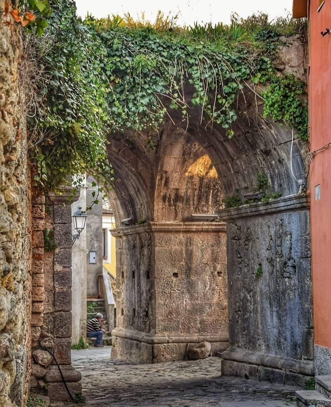
Tappa 0 — Roman Arches
Roman Arches → Mother Church
To be confirmed · To be confirmed
Included technical segments
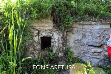
Tappa 1 — Via Randa
Roman Arches → Casino Pepe → Casino Gullà → Fons Aretusa → Copanello Lido
about 4 km · 90 min
Included technical segments
Tappa 2 — Vivarium
Copanello Lido → Motel → Fishponds → Cassiodorus tomb / San Martino
about 2 km · 60 min
Included technical segments
Tappa 3 — Torrazzo
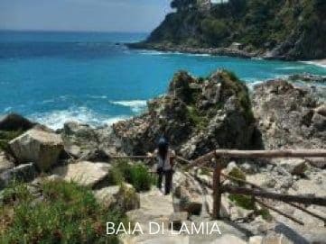
Cassiodorus tomb → Lamia → Torrazzo → Rebus
about 800 m · 30 min
Included technical segments
Tappa 4 — Caminia
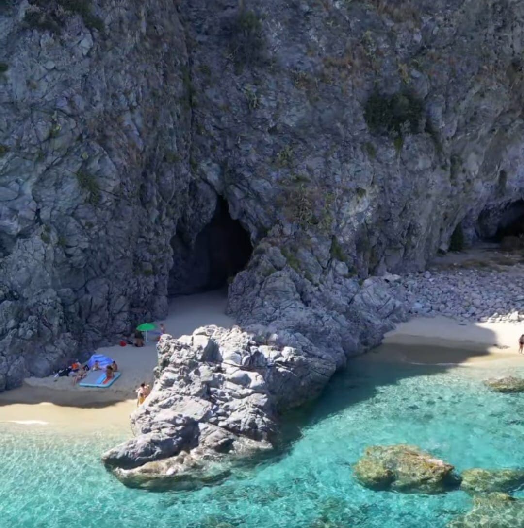
Rebus → Old SS106 → Panajia → Caminia Bay → Volcano Cave → Rebus
about 3 + 3 km · 60 min out + 44 min return
Included technical segments
Tappa 5 — Castrum
Rebus → Santa Maria Vetere → Castrum → Lucerta
about 2.5 km · 60 min out + 44 min return
Included technical segments

Tappa 6 — Village
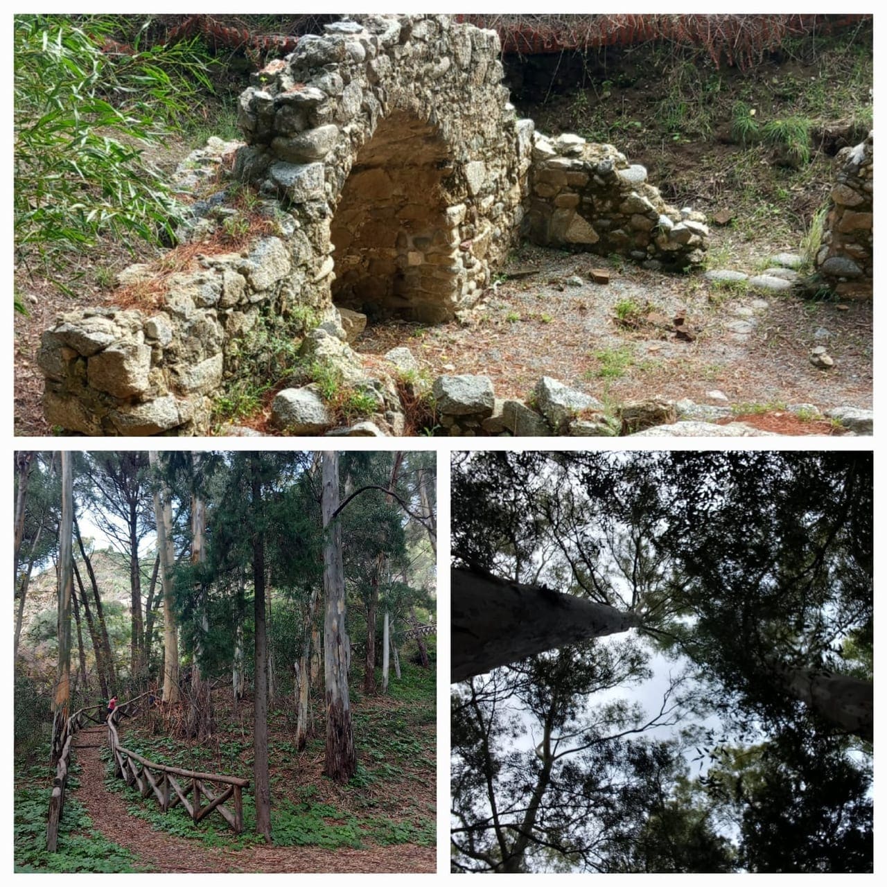
Lucerta → Gioiaruso → Monastery → Historic centre → Roman Arches
about 2 km · 60 min
Included technical segments