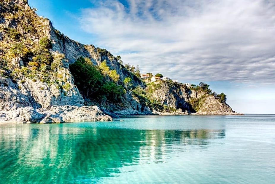
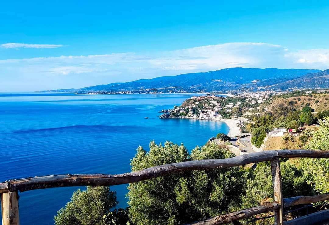
Sea
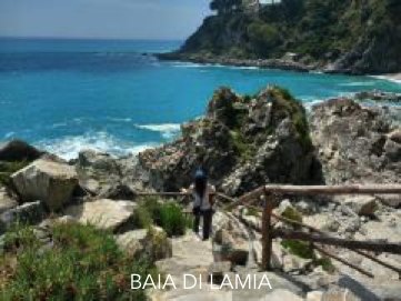
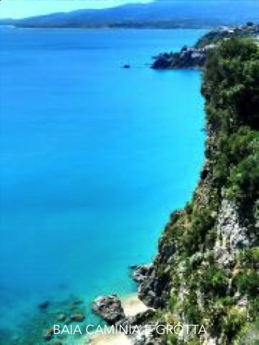
Beaches, cliffs, and sea views shaped by light, wind, and open horizon.
The territory takes shape
A walking, cycling, or horseback route connecting the territory from Caminia to Pietragrande, S. Maria Vetere, Torrazzo, Lucerta, and Copanello. One story, one experience.
Start with the official route, then the 7-stage catalog, the map, and civic action.
1. Explore the official route
Understand the official route and the 7-stage model immediately.
Open2. View the 7 stages
Open the 7 official stages catalog and choose a stage.
Open3. Open the map
Use the map grouped by the 7 official stages.
Open4. Sign the Cammino
Take part in the civic action and support the public project.
OpenFor visitors and walkers: plan, choose stages, and navigate the route.
For residents, partners, and supporters: public status, progress, impact, and support.
A visual section that tells the route before people read it or experience it in person.
Featured video
This is where the project’s main video story can live.
Photo gallery
Images already available from the route and restored stages.
Explore the route stage by stage, open details, and follow places, issues, and opportunities in a bilingual public format designed to be shared.
Beaches, cliffs, and sea views shaped by light, wind, and open horizon.
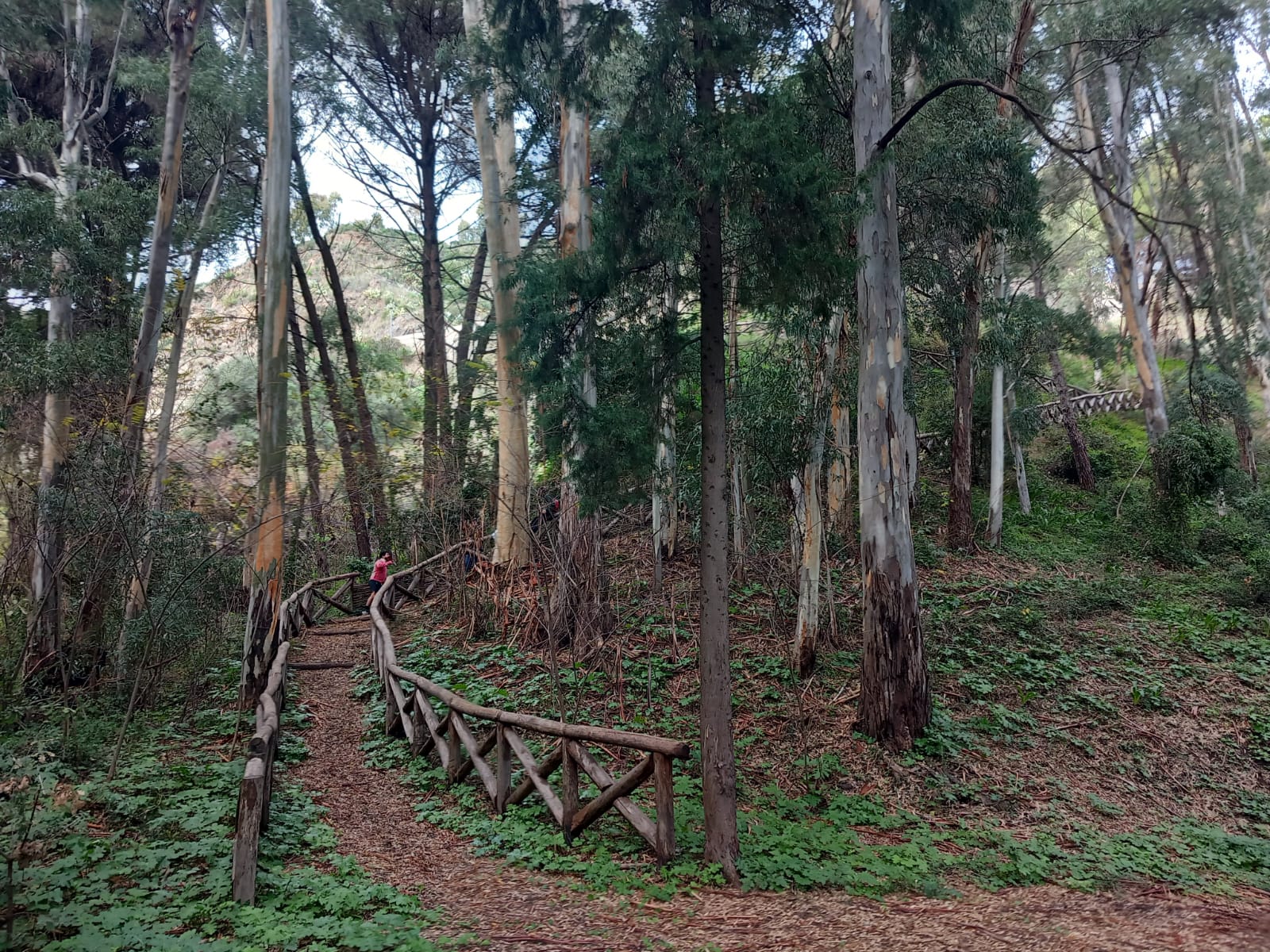
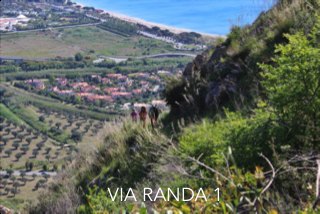
Country lanes, dry-stone walls, and fields that slow the pace and explain the land.
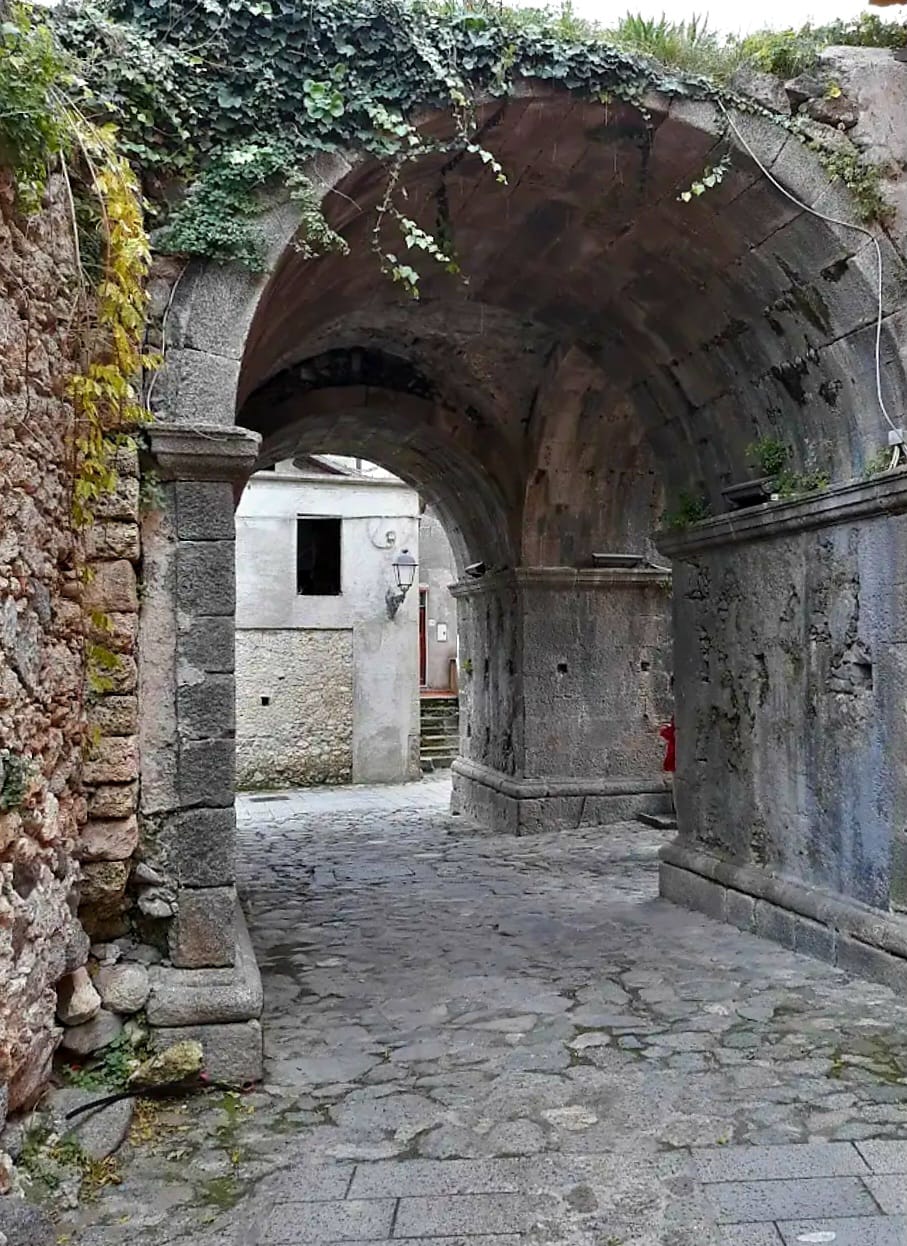
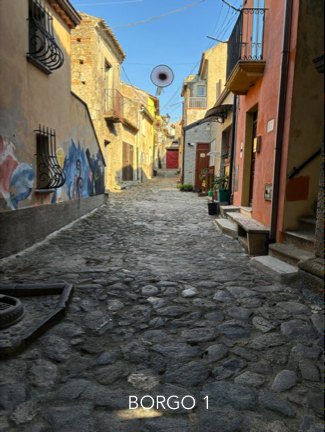
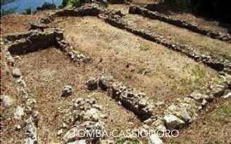
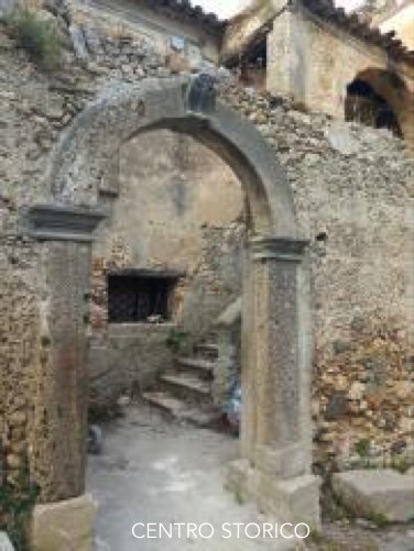
Squares, narrow streets, and churches where local memory becomes part of the route experience.
Residents, businesses, and institutions can each support the route in practical ways.
Sign, report route issues, and share photos, stories, and local memory.
Support a stage, a route segment, a practical intervention, or a project phase.
Collaborate on accessibility, safety, maintenance, culture, and sustainable tourism.
Give the project a public structure people can understand, share, and support—so the route, its needs, and its next decisions stay visible.
Project status
Milestones, open issues, field progress, and next actions in one public view.
Go to project statusThe route turns local history, landscape, and shared memory into a public story people can follow.
It connects coast, countryside, and historic village in language that works for residents, visitors, schools, and potential partners.
A civic project to make the territory more legible, safer, and easier to care for over time.
The public platform helps coordinate maintenance, reporting, priorities, and public accountability without separating story from action.
Verified events connected with the route and community.
No verified events are currently published.
Use Updates to follow site visits, meetings, route checks, decisions, and practical progress.
Jun 03, 2026
The route grows as a land-sea territorial ecosystem
The project now frames Il Cammino del Vento as a local civic platform connected to routes, municipalities, associations, the Marine Park context, and future slow-tourism services.
View detailsApr 18, 2026
First transparency cycle aligns support, ledger entries, and operational uses
Support contributions and first expense entries are now shown with public status to clarify what has been approved, what is being used, and what remains pending.
View detailsUse Press & Media to collect outside mentions, articles, and public validation that strengthen the project's credibility.
Mar 29, 2026
S1 TV reports on the Stalettì meeting to coordinate trails, routes, and cycling networks
S1 TV / Soverato Uno TV
View details