Latest update
The route grows as a land-sea territorial ecosystem
Jun 03, 2026
Portal · Report
Help keep the route safe and walkable. Reports are reviewed before they appear publicly.
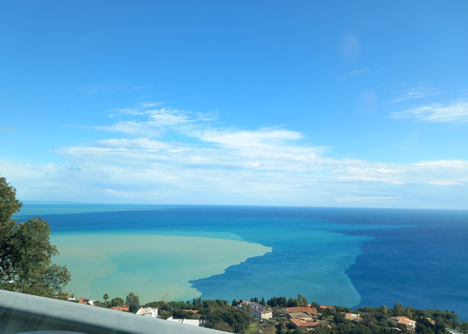
Immagine aggiornata per accompagnare la sintesi istituzionale con un riferimento concreto.
A second visual checkpoint for long report sections and trust-sensitive readers.
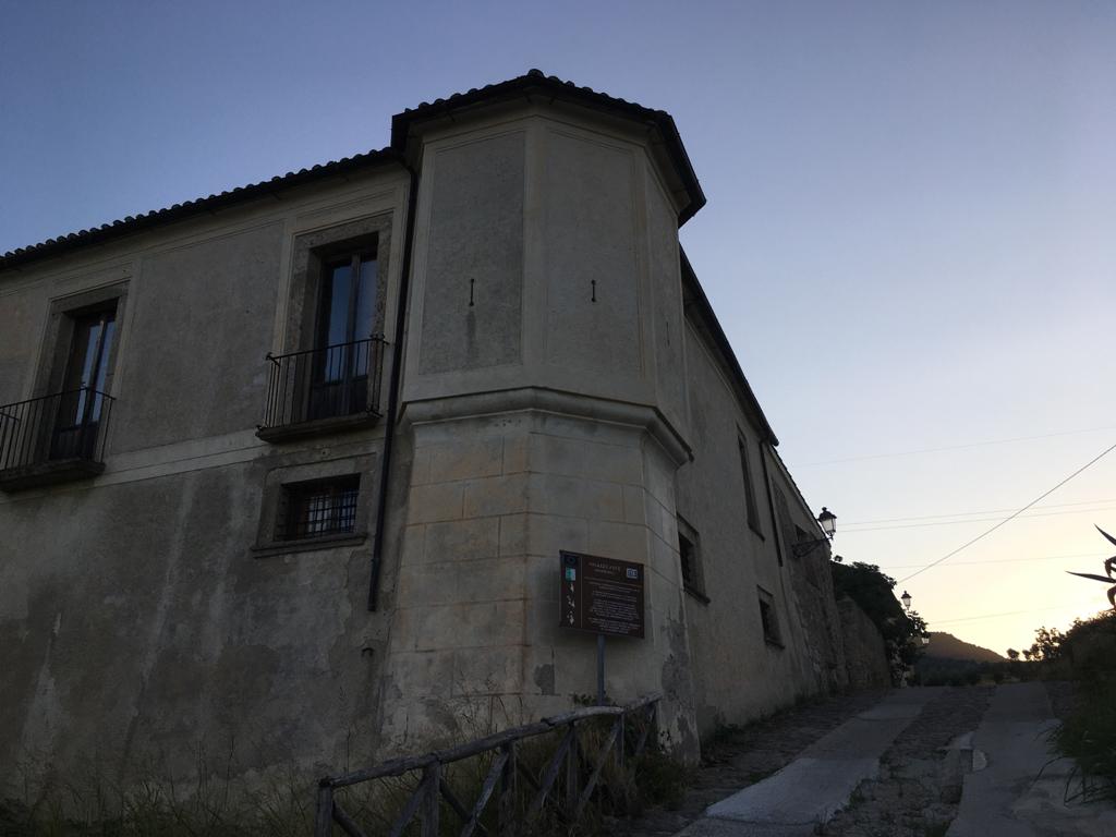
Describe the location precisely, attach photos when available, and indicate real risks: clearer reports mean faster response.
Recent sequence of public progress and operational transparency.
Latest update
The route grows as a land-sea territorial ecosystem
Jun 03, 2026
Latest ledger movement
Monitoring and site visits
Apr 18, 2026
Each report is reviewed by the team before publication in the tracker to keep the data reliable and operationally useful.
Nodes to track through shared governance between municipality, operators, and community.
Resolved
0
In progress
2
Pending
3
Via Randa: drainage and walking surface still need consolidation
Useful access segment into the route system, but still sensitive after rain and in need of a clearer walking surface.
Status: Needs consolidation
Priority: medium
Fons Aretusa: clearer wayfinding is needed between the spring, pine grove, and coast
The site has high narrative and landscape value, but the route remains hard to read for first-time visitors.
Status: Wayfinding to strengthen
Priority: low
Why the project matters for the territory beyond a single walking route.
Public map currently includes 5 issue markers supporting transparent monitoring.
After submitting, follow progress in the issues register and support interventions from the Support page and ledger.