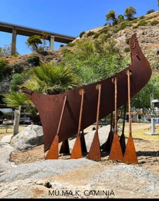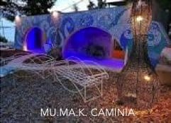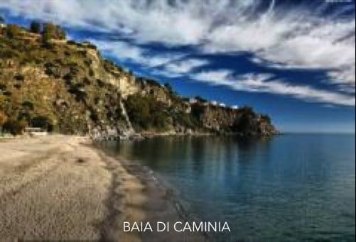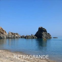


Overview
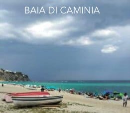
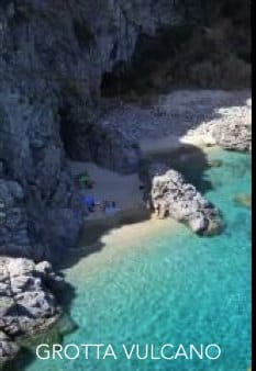
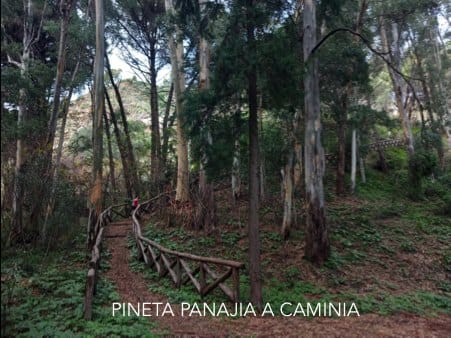
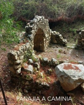
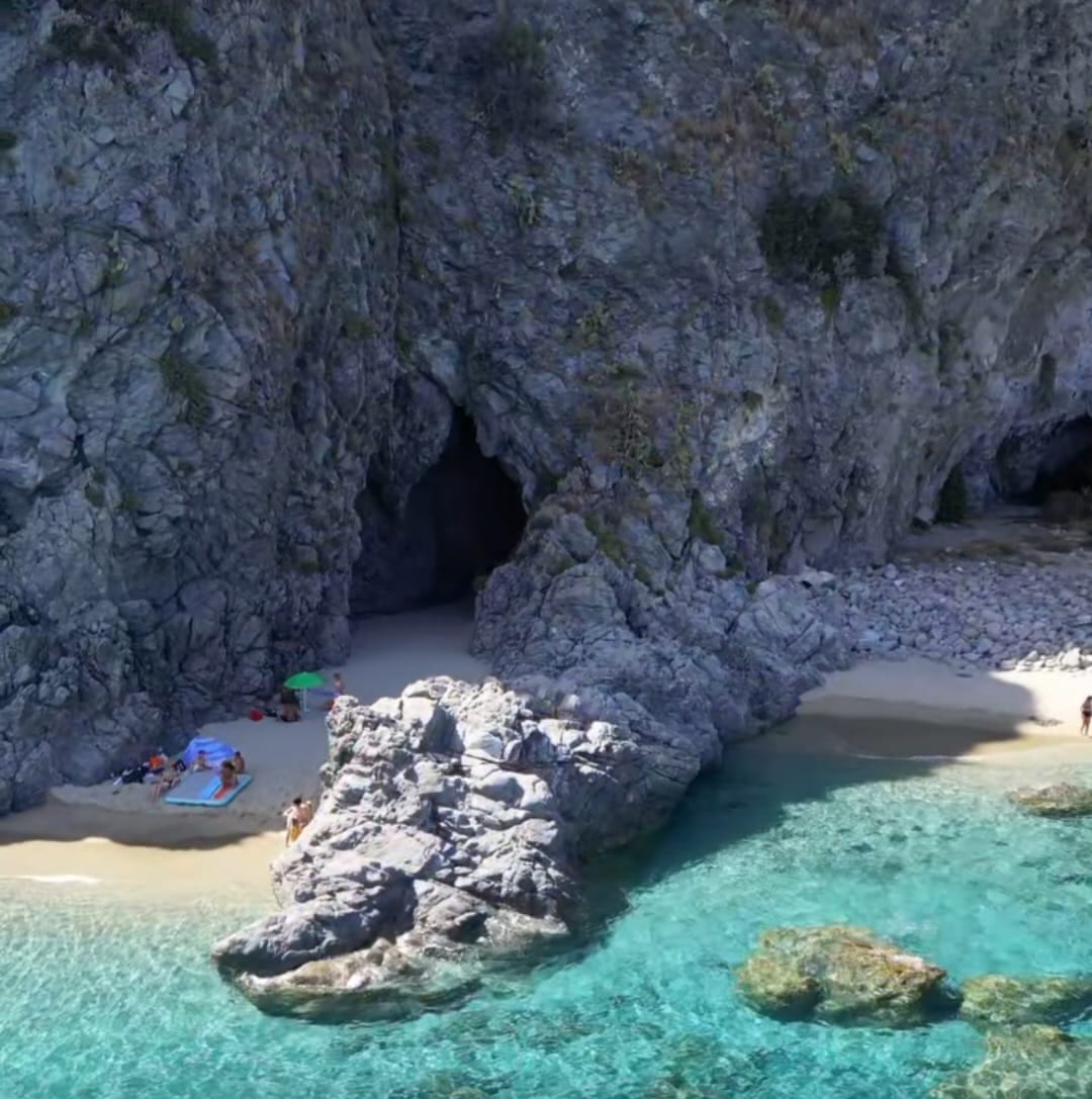
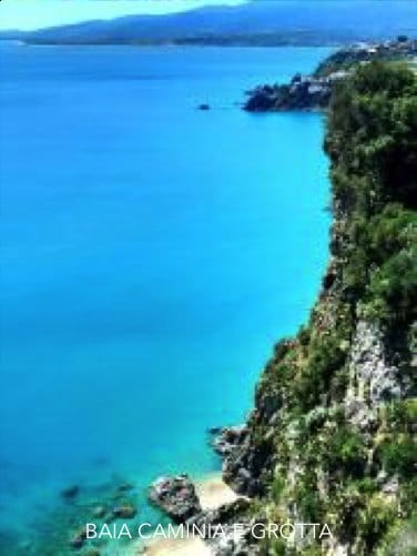
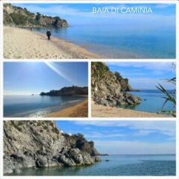
Rebus → Old SS106 → Panajia → Caminia Bay → Volcano Cave → Rebus Follow the old SS106 south toward Caminia, with caves and the Bourbon bridge, ending near the Vulcano cave and beach. From the beach by the San Gregorio cave to the Byzantine ruins of Panajia of Caminia, with shade, water, and a quiet pine-stop.